Philadelphia snow forecast: Friday flurries lead to winter storm on Monday with measurable snow
PHILADELPHIA - A dusting of snow on Friday served as the preview to a much larger winter storm days later that could dump several inches on parts of the Philadelphia area.
Friday's wintry weather did not bring much snow, as just a light coating fell in Philadelphia and most surrounding areas.
A more substantial winter storm with the potential to drop double-digit snowfall totals in some places will move into the area early Monday morning.
When will it snow?

Monday: Delaware is expected to see the first traces of Monday's winter storm around 5 a.m. as the winter storm moves up the coast and expands across the region. Cold air from the north will push down the rain-snow line to help keep snow falling throughout the day.
How much will it snow?

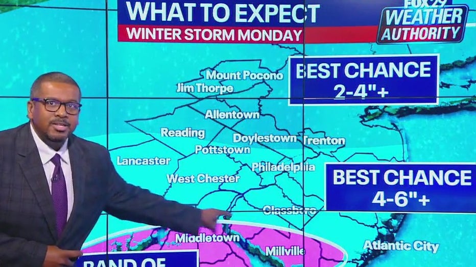
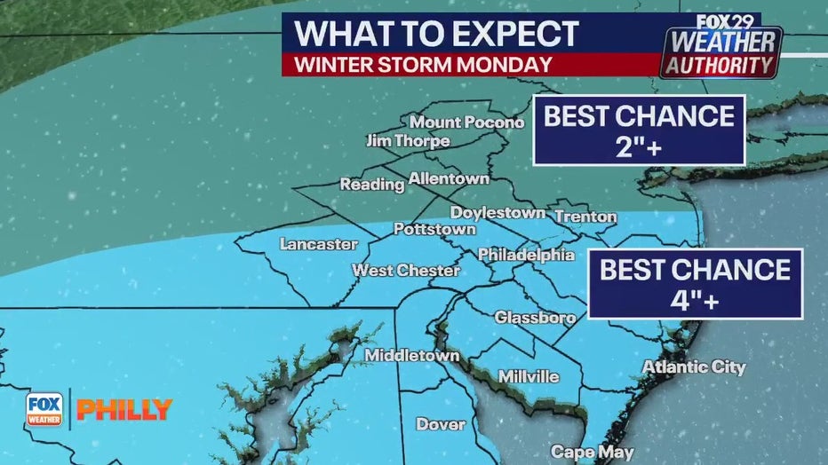
Monday: Forecasters are still trying to nail down the track of Monday's winter storm, which means snow totals are still imperfect. The European Model currently has higher snowfall totals in places south of Philadelphia, including over 4 inches in South Jersey and Delaware. The GFS model, however, has much more aggressive estimations, with over 6 inches tabbed for Philadelphia and double-digit snowfall in the Poconos.
FOX 29's Scott Williams says people living in places south of Trenton have the best chance at seeing at least 4+ inches of snow. Areas north of New Jersey's capital will likely see at least 2+ inches of snow on Monday.
Bitter cold temperatures ahead
A blast of artic air will plummet temperatures in Philadelphia over the weekend, with howling winter winds that will make it feel much colder.
High temperatures over the weekend will stay near freezing, despite bright sunshine for the Eagles' last game of the season on Sunday afternoon.
The bone-chilling temperatures will linger into Monday to help make the forecasted winter storm possible, and remain throughout the rest of the week.


