

Live updates: Debby remnants prompt Tornado Watch for Philadelphia area Friday
PHILADELPHIA - The remnants of Tropical Storm Debby are making their way to the Philadelphia area Friday, bringing heavy rain, gusting winds, and the potential for tornadoes.
A Tornado Watch was issued for the entire area through 2 p.m. Friday. Bucks County, Pennsylvania and Mercer County, New Jersey will both be under a Tornado Watch until 10 p.m.
Wind Advisories are in effect across the area through 6 p.m. Friday. Parts of southeastern Pennsylvania, northern Delaware and southern New Jersey are also under a Flood Watch through 1 a.m. Saturday morning.
With rain and storms already having impacted the area throughout the week, the area has yet to see the full effects of post-Tropical Storm Debby.
Those remnants are tracking to our west, impacting central Pennsylvania, but the Delaware Valley will still see plenty of rain and potentially severe weather.

Weather Authority: Tornado Watch issued Friday morning
Remnants of post-Tropical Storm Debby will impact the area Friday bringing rain, gusting winds, and the threat of tornadoes.
What’s left of Debby will add on to the stationary front that has brought rain and storms to the area through the week.
When all is said and done, FOX 29’s Sue Serio says the Philadelphia area could see two or more inches of rain when all is said and done.
Friday night and into the overnight hours a cold front is expected to push the rain out of the area, clearing the way for a much more pleasant weekend.
There will also be rain down the shore, and Coastal Flood Advisories are in effect around high tide.
Debby was downgraded to a tropical depression by late Thursday afternoon, and was a post-tropical cyclone on Friday, the National Hurricane Center said. It made landfall early Monday on the Gulf Coast of Florida as a Category 1 hurricane. Then, Debby made a second landfall early Thursday in South Carolina as a tropical storm.
At least eight people have died related to Debby. The latest was a 78-year-old woman killed Thursday night when a tree fell on her home in the community of Browns Summit northeast of Greensboro, North Carolina while Debby was passing through the state.
Tornado preparedness
When we get tornadoes around the Philadelphia area, the average wind speed is 100 mph. That's EF-1 tornado speed, which can uproot trees.
When wind speeds get to EF-2 tornado levels or higher, they can start snapping trees at the trunk.
Friday, the risk for uprooted trees is particularly high, which present a risk to homes, people, and power lines around them.
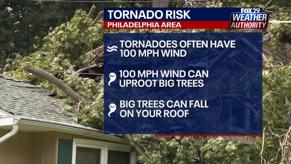
After inches of rain, our ground is super wet, making it harder for tree roots to anchor the tree.
Heavy rain Friday will make leaves very wet, making the top of big trees heavier than usual, making it even easier for large trees to get blown over by strong wind around 90 or 100 mph.
Featured

Tornado watch vs warning: What to know as Debby threatens Philadelphia area
The National Weather Service has different levels of alerts for tornado threats: Advisories, watches, warnings and emergencies. Here's the difference:
If you have any large trees in your yard, you want to be in the center of the lowest level of your home during a Tornado Warning - like a basement - and away from windows.
Tornadoes will cause debris to blow in the air, and that debris can break windows. The National Weather Service says flying debris was observed during the EF-1 tornado in Delaware on Thursday.
In our area, the weekend looks to bring some relief from a weather week that included major flooding and an EF-1 tornado that touched down in Delaware on Thursday.
The sun will break through Saturday with highs climbing into the 80s. Sunday will bring more of the same, and conditions are expected to remain pleasant and stable as we head into next week.
For the latest forecasts and conditions, download the FOX 29 Weather Authority app.