

NJ, Delaware nor’easter latest: Winds reach hurricane levels on LBI, more flooding expected Sunday
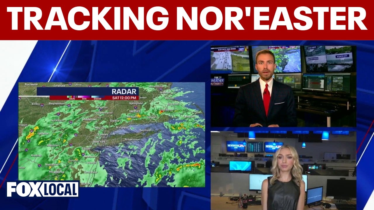
Tracking the nor'easter: Coastal flooding, high winds and power outages
Meteorologists Lauren Kreidler and Drew Anderson team up to track a powerful fall nor’easter impacting New York, New Jersey, and the Philadelphia area.
NEW JERSEY - A powerful nor'easter continues to pummel the Northeast this weekend, causing widespread flooding across parts of New Jersey and Long Island.
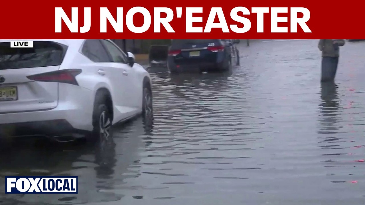
Nor'easter brings wind, rain and flooding to Jersey Shore
Eight counties are under a state of emergency in New Jersey as a powerful nor'easter moves towards the Jersey Shore.
What we know:
Rain came down across the region all through the day, with Monmouth and northern Ocean counties in New Jersey seeing nearly three inches over the last 48 hours, according to the National Weather Service.
Heavy winds had an even bigger impact though, especially on Long Beach Island, with wind gusts into the 60s, reaching as high as 74 mph in Surf City.
Storm turns deadly
Why you should care:
The winds even caused the storm to turn deadly in New York Saturday, causing a tree to fall and kill a man in Brooklyn.
Local forecast
Local perspective:
Here is a breakdown of what residents can expect across the region's cities and coastal communities as the storm reaches its peak over the weekend.
New Jersey and Delaware coasts
Heavy surf and beach erosion: Offshore waves of 15 to 18 feet will continue to pummel beaches, causing severe beach erosion and dangerous navigation conditions.
Widespread tidal flooding: A coastal flood warning is in effect for the entire
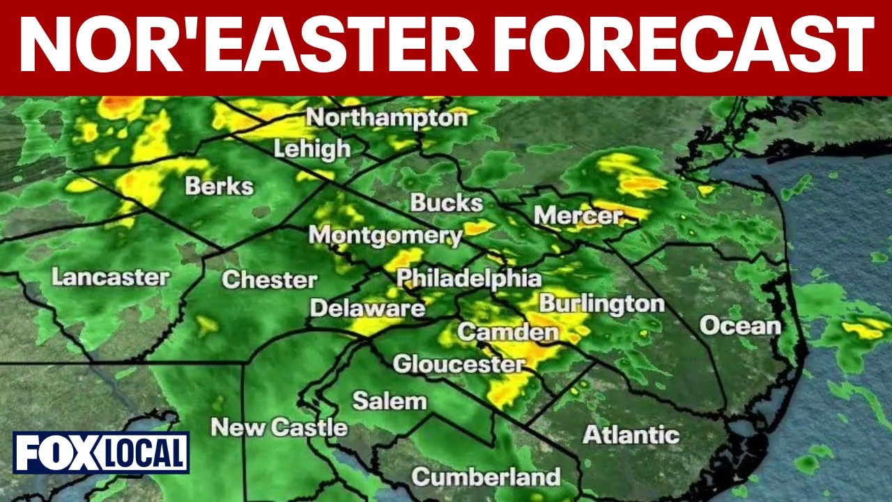
NJ nor'easter: Tracking the storm and its Jersey Shore, Delaware beach impacts
Drew Anderson is giving the latest updates as the nor'easter hits the East Coast, tracking its impacts on the Jersey Shore and Delaware beaches.
Active warnings and advisories: Coastal Flood Warnings remain active for the entire New Jersey and Delaware coasts, with a coastal flood advisory extending up the Delaware River, through Trenton.
Power outages: Thousands of people were without power in parts of New Jersey throughout Saturday, but as of Saturday night, PSE&G is reporting just under 400 customers without power as of 9 p.m.
New York City and Delaware
- Strong winds: Winds gusting between 40 and 50 mph will push heavy wave action directly against south-facing ocean beaches.
- Flooding risk: Moderate coastal flooding is expected during high tide cycles through Sunday afternoon across New Jersey and Delaware. A coastal flood advisor is in effect up the Delaware River through Philadelphia and Trenton until Sunday.
- Travel disruptions: Numerous road closures are anticipated along waterfront roads, and vehicles parked in low-lying areas face significant flood risks.
Washington, D.C. and Chesapeake Bay
- Mostly dry: Since the center of the low pressure system is tracking well offshore, the D.C. metro area will avoid the heavy rain bands, seeing mostly dry conditions with only occasional light showers.
- Breezy conditions: Persistent onshore winds will maintain brisk, breezy weather throughout the weekend.
- Tidal water rise: Minor to moderate tidal flooding will affect vulnerable shoreline locations along the tidal Potomac River and the Chesapeake Bay before water levels begin to recede early next week.
The Source: Information from this article is sourced from FOX Weather and the National Weather Service.