Philadelphia snow forecast: Winter Storm Watch issued with measurable snow expected Monday
PHILADELPHIA - A dusting of snow on Friday served as the preview to a much larger winter storm days later that could dump several inches on parts of the Philadelphia area.
Before we get Monday's snowstorm, we are staying windy and cold all weekend.
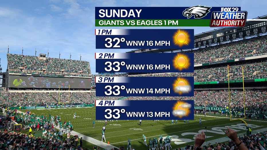
This weekend, wind gusts jump up to the 30-mph range at times during the sunny, daylight hours. If you're going to the Eagles game, wear many layers because the windchill will make it feel in the teens.

Most of Sunday night is quiet and dry. Snow starts moving in from the south and west close to sunrise Monday.
The National Weather Service has now issued a Winter Storm Watch for most of the area beginning Sunday night and lasting through Monday night.
When will it snow?
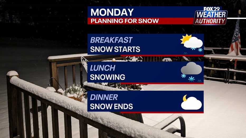
Snow arrives after 2 a.m. and we'll have light snow at sunrise into breakfast time. This snow will be light and fluffy: easy to shovel or remove with a brush or broom. The snow will be heaviest late morning and at lunchtime. Then, the snow wraps up by dinnertime. After a lull, a touch of light snow will drift over us from 10 p.m. Monday to 12 a.m. Tuesday.

How much will it snow?
The most snow from Monday's storm goes to South Jersey and to areas in Delaware south of Wilmington. The lowest snow totals will be areas an hour or more north of Philly. We're talking upper Bucks and Montgomery counties, Mercer and Monmouth counties, the Lehigh Valley and the Poconos.
Right now, plan for 2-4 inches in and around Philadelphia. A coating to 2 inches will fall in places more than an hour north of Philly and 4-6 inches will fall in South Jersey and in Delaware south of Wilmington. Some places in New Jersey and Delaware will get over 6 inches. It is too early to tell who will receive that large snowfall amount because a narrow area of super heavy snow will set up somewhere in that area. We will know more closer to Monday.
There is potential for more snow, but right now, those numbers are the best forecast. We'll keep you updated.
Some of the future radars are consistently coming in with a lot more snow, while other future radar keeps coming in run to run with a little snow. So, our forecast is a blend of all that weather data and puts more emphasis in the models that are on the lower end of totals.
Bitter cold temperatures ahead
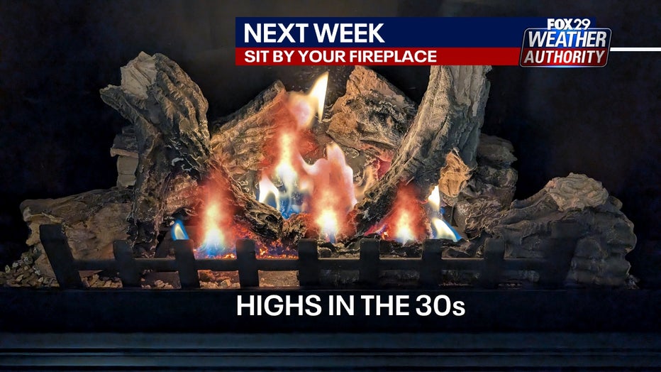
What is clear is we're staying cold next week. Highs stay in the 30s for the week ahead.


